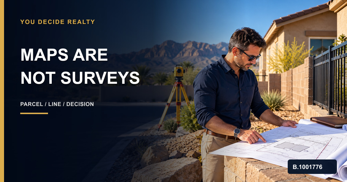
Do you need a property survey before buying a house? Not every Nevada purchase calls for the same survey product, but an assessor parcel map, fence, wall, listing sketch, aerial image, or found stake is not a licensed boundary conclusion. Clark County says its assessor parcel maps are for assessment use only and do not represent a survey. When lot location, improvements, access, encroachments, acreage, future work, or a visible contradiction matters to the decision, put the question in writing early and ask the title, lender, attorney, and Nevada-licensed land surveyor which evidence and scope are appropriate.
Start with the decision, not a generic checkbox
Write down what must be answered: the location of a boundary or corner; whether a wall, fence, driveway, shed, pool, addition, utility, or access route relates to a line; whether acreage or dimensions matter; or whether planned construction depends on setbacks and parcel geometry. A survey scope should fit the actual question rather than become a vague request for “the survey.”
Use public maps as leads, not final boundary proof
Clark County’s assessor portal can orient a buyer to the parcel number, recorded maps, documents, and assessment information, but its disclaimer says parcel maps do not represent a survey. Compare the legal description, preliminary title material, recorded map references, seller records, visible occupation lines, and any prior survey without treating one online layer as conclusive.
Verify the professional and requested service
NRS 625 defines locating or retracing a property line, establishing a boundary, and determining a monument position as land-surveying practice. Use the Nevada Board lookup to verify the professional land surveyor and ask for a written scope, deliverable, timing, access needs, exclusions, and how discrepancies will be reported.
Put the work on the transaction calendar
Survey availability and field access can take time. Coordinate the request with contract diligence, title review, lender needs, seller permission, HOA or common-area questions, inspection access, and closing. Do not wait until the final walkthrough to raise a fence or access concern that was visible earlier.
Route contradictions instead of interpreting them yourself
If a survey, deed, title exception, map, fence, wall, improvement, or neighbor statement conflicts, describe the mismatch precisely. A broker can coordinate the transaction, but boundary rights, easements, title coverage, adverse claims, remedies, and contract choices belong with the responsible survey, title, legal, lender, and other professionals.
Preserve the final property record
Keep the surveyor’s engagement and license information, field or access notes, signed deliverable, legal description, recorded references, title material, written questions, professional responses, seller communications, contract decisions, and any post-closing maintenance or improvement plan.
FAQ
Does a Clark County assessor parcel map show exact property lines?
No. Clark County states that its assessor parcel maps are for assessment use only and do not represent a survey.
Can a fence or wall prove the boundary?
Not by itself. Visible occupation can create a useful question, but a Nevada-licensed land surveyor and the appropriate legal or title professionals must address the property-specific boundary evidence and rights.
Who can locate a Nevada property line?
Nevada law places locating, retracing, or establishing property lines and boundary monuments within professional land-surveying practice. Verify the surveyor through the Nevada licensing board.
Primary sources and limits
- Clark County Assessor, Real Property Search and parcel-map disclaimer
- Nevada Legislature, NRS Chapter 625 — Professional Engineers and Land Surveyors
- Nevada Board of Professional Engineers and Land Surveyors, License Lookup
- Boulder City, Nevada, Property Lines, Surveys and Monumentation
General education only. An assessor map, aerial image, fence, wall, stake, monument, deed, legal description, title item, prior survey, seller statement, inspection, permit, contract, or article does not by itself establish an exact boundary, access right, easement, encroachment, title coverage, legal remedy, development right, property condition, tax treatment, or investment suitability. Verify the exact parcel and legal description, recorded references, visible occupation, requested survey scope, professional license, title and escrow material, lender requirements, contract dates, local jurisdiction, HOA documents, permits, intended use, access, improvements, discrepancies, and responsible professional roles with the Nevada survey board, public agencies, receiving broker, professional land surveyor, title or escrow company, lender, attorney, CPA, qualified intermediary, property manager, and other qualified advisers as appropriate. No individualized legal, tax, lending, insurance, securities, compliance, contract, property-management, or investment advice is provided.
Related: coordinating parcel and permit research, separating seller knowledge from independent diligence, contact You Decide Realty.